Aberdeenshire
On the 1st of January 2013, GreenOre Gold Plc was awarded a Mine’s Royal Option Agreement for an area approximately 56km squared near the hamlet of Towie in Aberdeenshire, Scotland. As a result of the work carried out during the first year of exploration this area was then increased to nearly 250km squared in 2014. In 2016 the prospecting area was increased to just under 500km squared. Early indications prove this area to be highly prospective for an economic gold deposit.
Location
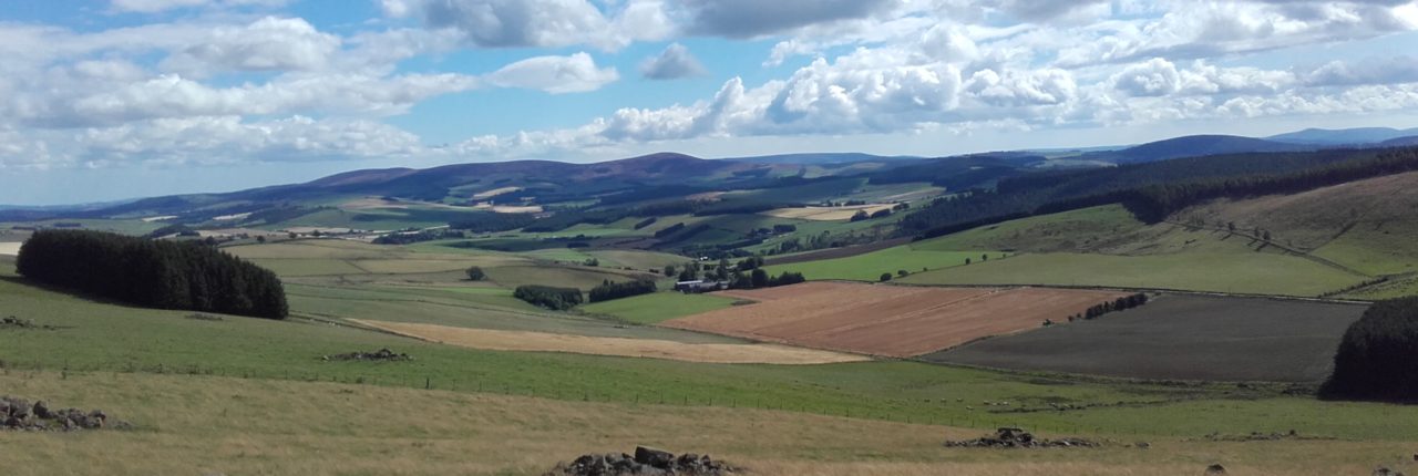
The licence area, now referred to simply as ‘Towie and Alford’ is located approximately 50km West of Aberdeen in rural farmland and forest plantations. The topography is undulating hills with a maximum height of 619m on the summit of Pressendye to 150m above sea level in the flood plains of the River Don. Access is via 2nd and 3rd order roads and well maintained forestry tracks. The licence area has encompassed Alford, Rhynie and the highly prospective ‘Rhynie Fault Zone’. Rhynie is a well known epithermal gold locality in Scotland.
Historic Work
Originally found by Ennex International in the 1980’s from pan concentrate and follow up prospecting. From 1990-1992 Navan Resources undertook an exploration programme based on the Ennex results. Trenching revealed gold intervals of 1m@22.5g/t, 2.9m@1.6g/t, 0.5m@4.68g/t and 1m@2.06g/t. It was concluded that intense weathering resulted in decreased gold values and that reasonable grades are expected at depth –J. Crummy ‘93
Work to date
Since acquiring the licence in early 2013, a significant amount of work has been achieved. The initial work has identified numerous areas for follow up work and drilling. Highlights include:
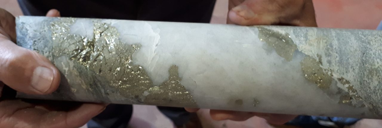
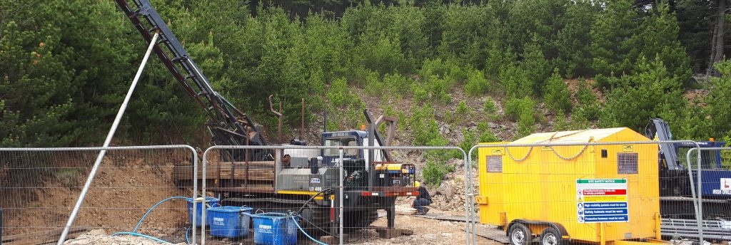
- Drilling 2017: 1m@ 4.8g/t Au, 0.9m @ 0.8g/t Au
- Drilling 2014: 4m @ 0.57g/t and 1.2m @ 3.16g/t Au
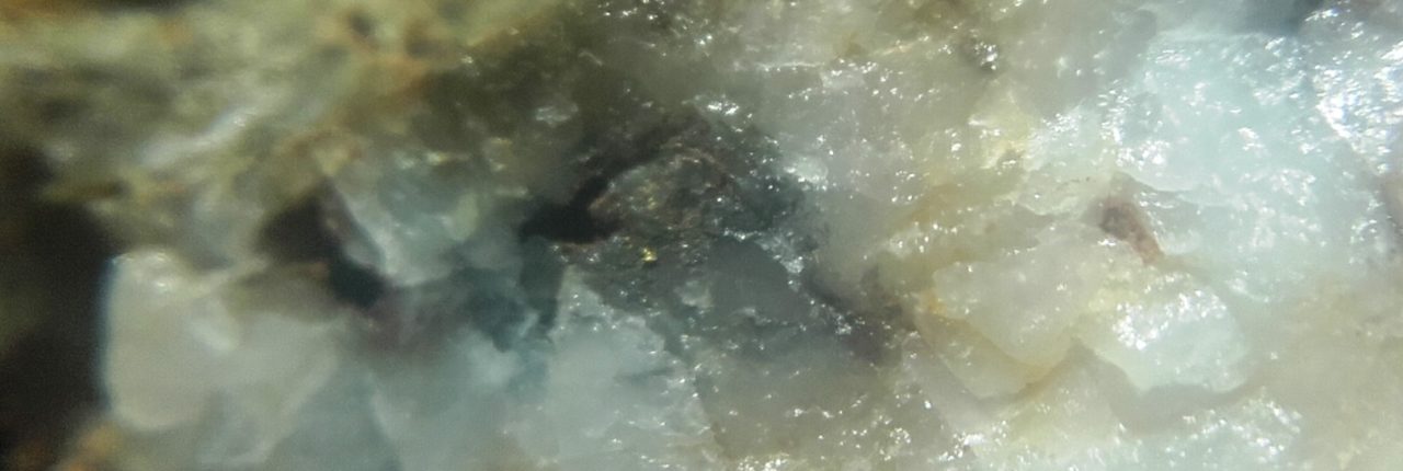
- Large gold bearing boulders 53.7g/t, 47.7g/t, 18.03g/t, 7.47g/t and 6.71g/t Au
- Gold vein outcrop 6.26g/t Au
- 5km NE-SW trend with 2 gold bearing outcrops and panned gold
- High values of Silver, Copper, Lead and Zinc noted in rock and soil samples
- 4 significant magnetic anomalies identified
- Major fault and shear zones previously untested for gold
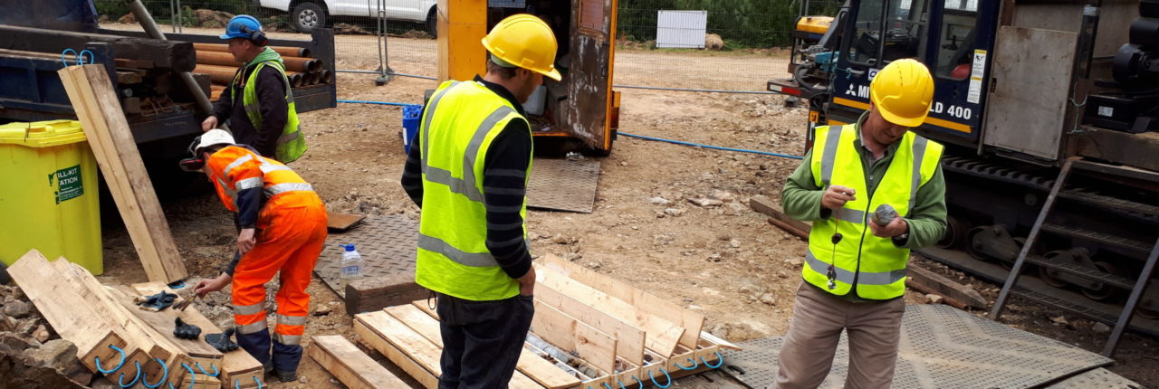
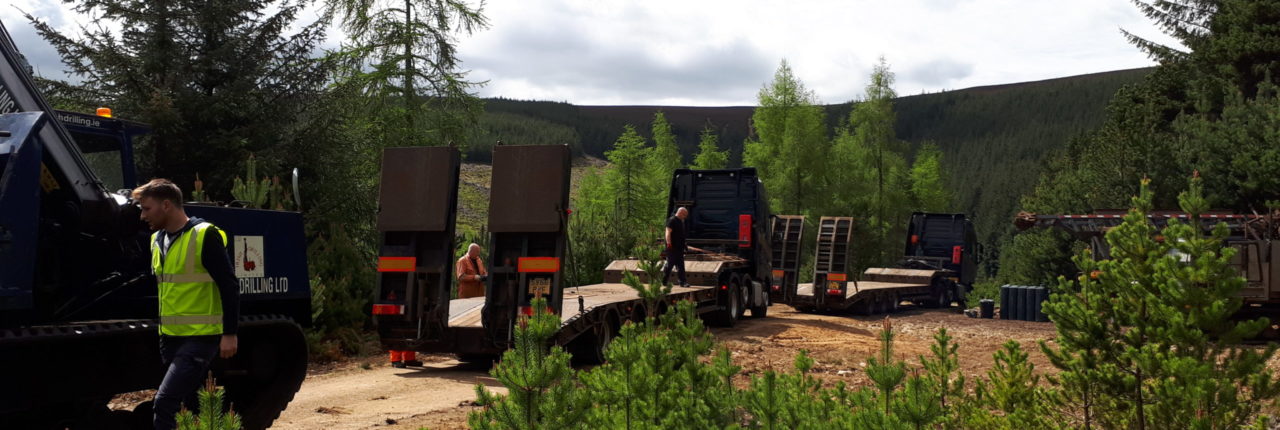
Since the partnership with Koza in 2015 a full regional stream sediment programme was conducted. Numerous new streams were identified containing gold. Follow up prospecting and mapping is on-going. Geophysical surveys and a soil sampling is complete. Drilling in 2017 confirmed gold bearing veins.

